Rio Grande River Panel Setting, Aerial Mapping
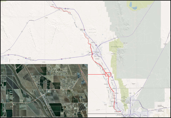
S&B Infrastructure - Sunland Park to Hatch, NM
FXSA was retained by S&B Infrastructure to provide ground support to conduct an aerial topographic survey of approximately 67 miles of levee along the Rio Grande River from Sunland Park, NM to Hatch, NM for the IBWC. The project consisted of establishing primary and secondary control for 67 miles, and set 544 aerial panels and 561 benchmarks in the ground. Our team was also responsible for tying existing utilities, existing structures, and for conducting topographic surveys of void areas where the aerial photography was not able to triangulate.