City of El Paso Streetcar Mapping Corridor
City of El Paso – El Paso, TX
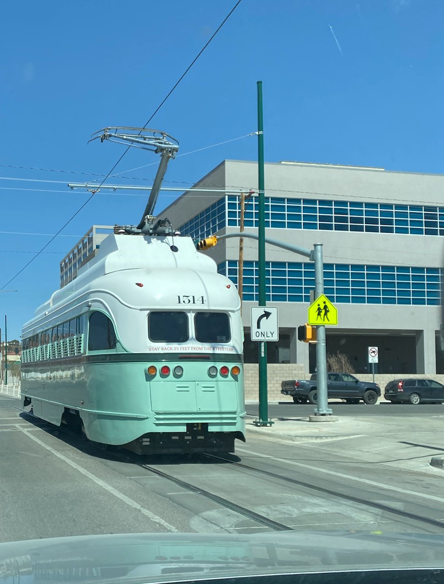
FXSA was a subconsultant to AECOM (formerly URS Corporation) providing engineering design support for the 4.8-mile route Streetcar Project in El Paso, TX to run from South El Paso to Downtown to the University of Texas at El Paso campus. Project included a topographic survey conducted photogrammetrically with design-scale imagery acquisition and mapping. Project also included additional topographic surveys by ground surveying methods, the tying in and mapping of all utilities by ground surveying methods, a ROW survey, and subsurface utility engineering (SUE) for levels D, C, B, and A. Our subconsultant performed image acquisition services, aerotriangulation, photogrammetric mapping, and digital orthophotography processing. FXSA surveyed the photogrammetric ground control and performed the additional topographic surveys, the ROW mapping, the utility surveying, and the SUE.
Deliverables included: Intergraph DMCII 230 digital photo acquisition, strict flight planning to manage Mexican airspace and heavy traffic area of El Paso Airport and Fort Bliss, digital orthophotography (3” GSD) in GeoTIFF and SID formats, 1-foot contour line data with associated spot elevations in AutoCAD format, DTM data in AutoCAD format, planimetric data in AutoCAD format, aerial triangulation report with photo centers and photo orientations, ground survey of additional topo sites delivered in AutoCAD format, ROW survey delivered in AutoCAD format, utility survey delivered in AutoCAD format, SUE surveying and mapping delivered in AutoCAD format.
Deliverables included: Intergraph DMCII 230 digital photo acquisition, strict flight planning to manage Mexican airspace and heavy traffic area of El Paso Airport and Fort Bliss, digital orthophotography (3” GSD) in GeoTIFF and SID formats, 1-foot contour line data with associated spot elevations in AutoCAD format, DTM data in AutoCAD format, planimetric data in AutoCAD format, aerial triangulation report with photo centers and photo orientations, ground survey of additional topo sites delivered in AutoCAD format, ROW survey delivered in AutoCAD format, utility survey delivered in AutoCAD format, SUE surveying and mapping delivered in AutoCAD format.