Palacio Arroyo Inventory Mapping I
U.S. Bureau of Land Management – Taos, NM
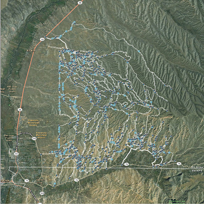
FXSA was awarded by the Bureau of Land Management, Taos Field Office, with the Palacio Arroyo Inventory, Mapping project. Work encompassed to verify – on the ground – the existing motorized roads and trails within the Taos Field Office and, to create a database and GIS layer of these routes. All verified routes were incorporated into one comprehensive GIS dataset and were delivered as a transportation layer.