Rio Grande Canalization Project
U.S. International Boundary & Water Commission — NM & TX
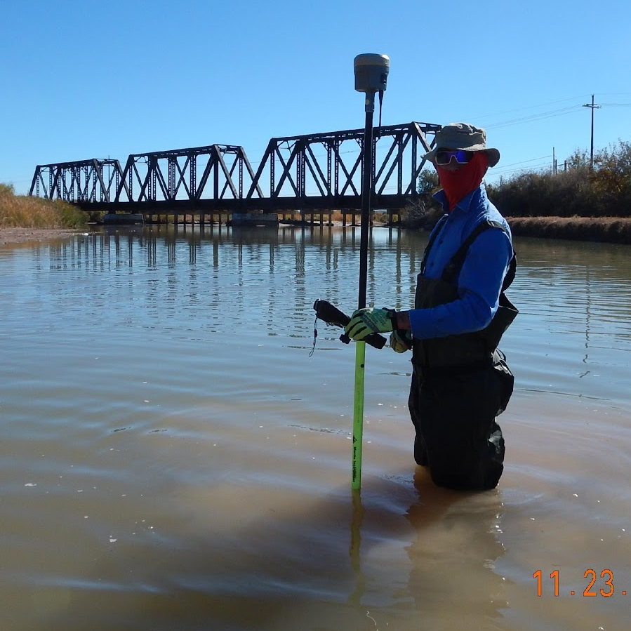
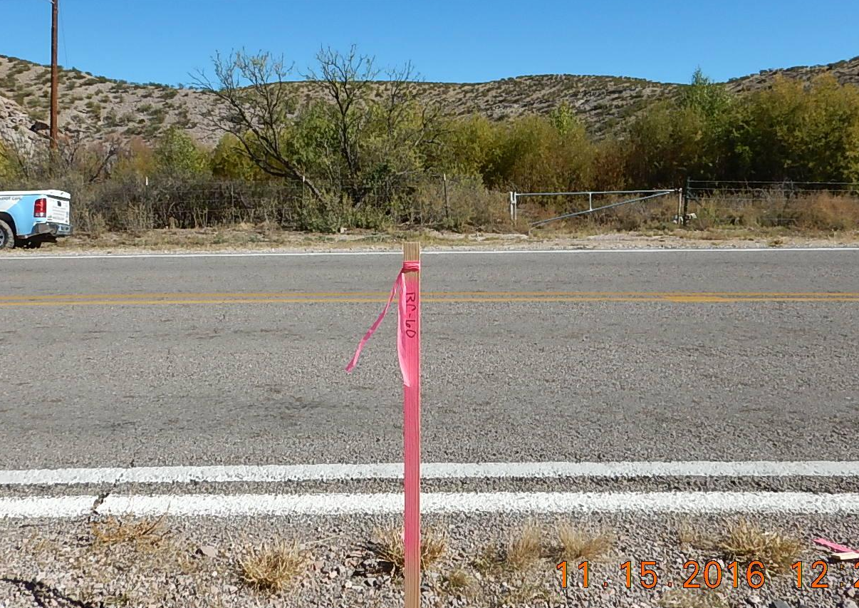
FXSA was a subconsultant to Arcadis to provide survey support of the USIBWC River Management Plan. This plan was implemented by the USIBWC as a long-term management monitoring program for channel maintenance and established a requirement to re-survey the river cross sections every 4 to 5 years. The project consisted of providing survey data on 160 cross sections along a 105-mile reach of the Rio Grande River beginning at Percha Dam in Sierra County, New Mexico and continuing downstream to the American Dam in El Paso County, Texas. FXSA began the project by recovering existing survey control which FXSA had established in May 2009 for an aerial panel control and photogrammetry project for the IBWC. The previous datum was referenced to New Mexico Coordinate System of 1983 (NMSCS 83), Central Zone (3002) (NAD83-CORS96[Epoch 2002], North American Vertical Datum of 1988 (NAVD 88) Geoid 2003, U.S. Survey Feet.