Photo ID Points for Airports, Control Survey
Magnolia River – USA, Mexico, Caribbean
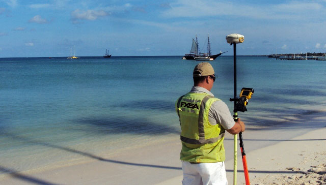
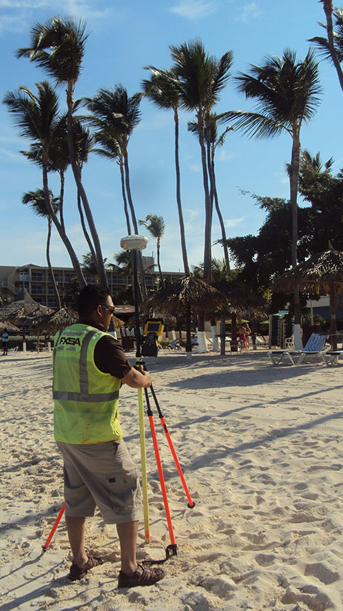
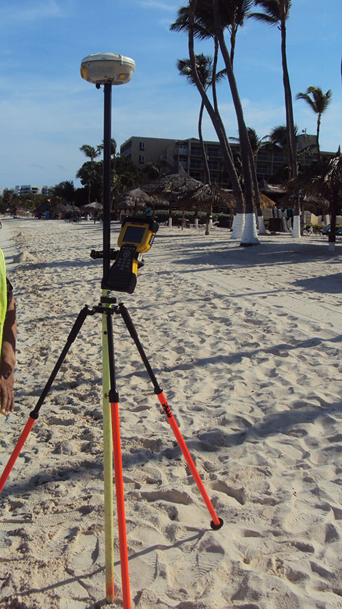
FXSA was contracted by Magnolia River to perform a geodetic survey of photo-identifiable points to facilitate the aerial triangulation of satellite imagery scenes over various domestic and international airports. A total of twenty sites were surveyed, which included three sites in the United States, one site in Aruba, and sixteen sites in Mexico. Each site required a minimum of six surveyed locations strategically distributed over an area of approximately two hundred square miles. The project presented unique logistical challenges in respect to travel, security, and access to suitable locations. Locating, accessing, and surveying points that would be clearly resolvable at a course image resolution was particularly challenging at times due to a combination of very restricted access and rural conditions.